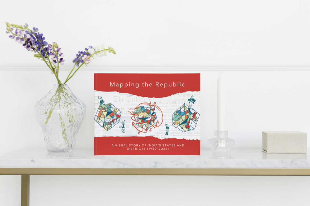
A remarkable new work documenting the evolution of India’s internal boundaries has been released with the publication of Mapping the Republic: Visual Story of India’s States and Districts 1950–2024 by Shivakumar Jolad, Mehr Kalra and Gaurav Kalyani. The book presents a unique visual and historical exploration of how the political and administrative map of India has transformed since independence, offering readers an engaging journey through the formation and evolution of states, union territories, and districts over more than seven decades.
This important publication functions both as a historical atlas and a visual archive, addressing a long-standing gap in accessible documentation of India’s changing administrative boundaries after independence in 1947. While the story of the nation’s formation is widely known, the gradual reshaping of its internal map—from British provinces and princely states to the present-day federal structure—has rarely been presented in such a comprehensive and visually rich manner. Through maps, timelines, charts, and carefully curated images, the book provides readers with a clear and structured narrative of how India’s territorial framework has evolved from 1950 to 2024.
The authors trace how the boundaries of states and districts have been influenced by a variety of factors, including linguistic identities, ethnic diversity, political negotiations, and aspirations for regional development. By visually documenting these changes decade by decade, the book highlights the dynamic and evolving nature of India’s federal system. It presents detailed visual timelines for each state and union territory, along with district-level transformations that illustrate how governance structures have adapted to the country’s changing demographic, social, and political realities.
One of the distinctive aspects of the book is its use of innovative visual tools such as decade-wise maps and alluvial charts, which allow readers to easily follow the creation, division, and reorganization of administrative units across time. These visuals transform complex historical and administrative data into an accessible format, making the evolution of India’s territorial map understandable even for readers who may not have a background in political geography or public policy.
The book also serves as a companion to the India State Stories project, an initiative that aims to build a visual and immersive archive documenting the historical development of India’s states and districts. The project seeks to make information about the country’s territorial evolution widely available and easily understandable, bridging the gap between academic research and public knowledge.
The authors bring together diverse academic and professional expertise to create this comprehensive work. Dr. Shivakumar Jolad is an Associate Professor of Public Policy at FLAME University in Pune. His research focuses on social policies related to K–12 education, migration, and human development, as well as the quantitative history of modern India, including constitutional development and state formation. His writings and research have appeared in several respected platforms such as Scroll, India Forum, The Wire, Observer Research Foundation, Ideas for India, India Spend, and Deccan Herald. He is also the founding director of the India State Stories initiative. Dr. Jolad holds a PhD in Physics along with a doctoral minor in Demography from Pennsylvania State University in the United States.
Co-author Mehr Kalra works as a Data and Regions Analyst at the WageIndicator Foundation, where she focuses on global location mapping and living wage data analysis. In her professional role, she collaborates with NGOs, global brands, and labour rights organizations to make reliable wage data more accessible and actionable. An alumna of FLAME University and a graduate of Azim Premji University with a Master’s in Development, she contributed significantly to the India State Story project by developing visuals and data that help illustrate India’s political and administrative transformations.
The third author, Gaurav Kalyani, works as a research assistant for the India State Stories project at FLAME University. His work centers on research and content curation for the project’s website and related publications. An early-career scholar working at the intersections of history, archiving, digital humanities, and public outreach, he holds a master’s degree in archaeology from Durham University in the United Kingdom. His academic interests include using digital media to communicate research to broader audiences and exploring anti-caste history. He is also known for his work as a Marathi–English translator and regularly contributes to the The Sathyashodhak web portal.
Designed for a broad readership, Mapping the Republic: Visual Story of India’s States and Districts 1950–2024 will be valuable for students, educators, researchers, policymakers, public administrators, and aspirants preparing for competitive examinations such as those conducted by the Union Public Service Commission. By combining rigorous research with visually engaging storytelling, the book provides readers with a deeper understanding of the foundations of India’s federal and territorial structure.
Through this publication, the authors aim to make the complex story of India’s evolving internal map accessible and engaging for a wider audience. By documenting the journey from the early years of independence to the present day, the book not only records historical changes but also encourages readers to reflect on the political, cultural, and developmental forces that continue to shape the geography of the world’s largest democracy.